Hike #19: Angel Island

Location: San Francisco Bay

Distance: ~6 miles

Entry fee: $15 round-trip ferry ticket (per person)

This past Sunday morning Paul and I decided to hop on the ferry and cross the bay to Angel Island.

During the ice age Angel Island was connected to the mainland.   About 8,000 years after that the island served as a fishing and hunting site for the Coast Miwok Native Americans (interesting side note, similar evidence for the existence of Miwoks on Angel Island are also found on Ring Mountian…which devoted followers may remember from Hike #14.)   The northwest Ayala Cove is where Juan de Ayala, commander of the first vessel to enter SF Bay, first anchored his ship…and where we first started our hike.

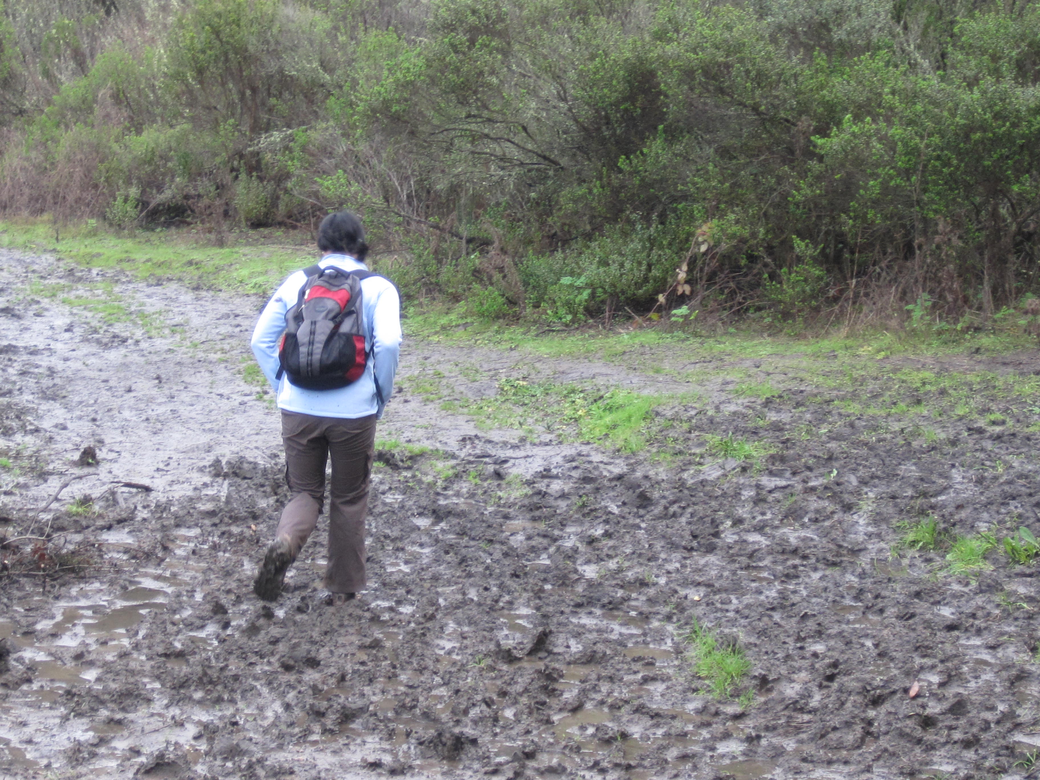
With the recent rain the island was super green with lots of wild flowers mixed in with the charred tree stumps and fence posts from the 2008 fire.   Since this was our first trip to the island, we weren’t entirely sure what we wanted to do or where we were going.   There is a paved road that runs around the perimeter of the island (aptly named Perimeter Road) that is open to bikes, which are popular among campers on the island.  (Campsites out here are few and far between, and making a reservation often requires booking months in advance.)  Paul really wanted to get up to the highest point on the island, Mount Livermore, so we opted out of walking the entire perimeter and took the North Ridge Trail for the first half of our hike…along with a Russian family of about 15.  After 30 minutes of weaving through Russian children…passing them, having them catch up…we finally broke away and beat them to the summit.  YES.

Upon arriving at the top we found…a bunch of people eating (all the picnic tables were taken) and a FANTASTIC view of San Francisco, Marin, and the East Bay.  After taking it all in, we followed the back half of the Sunset Trail down to where it hits the Fire Road.  From the Fire Road we headed down to the Perimeter Trail, which we followed back to Ayala Cove.  Aside from the Russians, we encountered few hikers on the first part of the hike.  Once we hit the Perimeter Trail traffic picked up a little bit as well…but nothing overwhelming.

deserted hospital

On the way back down we passed by a number of old, abandoned buildings.  Known as the “Ellis Island of the West” in the 19th and 20th centuries, Angel Island served first as a military base (and for a while as a quarantine station for soldiers re-entering the country), and then an immigration station.   Restrictions imposed by the Chinese Exclusion Act (also referenced in Hike #10) resulted in a number of immigrants spending years on the island waiting for entry between 1910 and 1940.  There are a number of run-down buildings that used to be hospitals, schools, and homes, as well as small communities that formerly served as military housing located in clearings near the water.  These communities were particularly weird…they are very neat and clean, with manicured lawns and blooming gardens, but emtpy…which makes the whole place kind of creepy.   These parts of the island seem very surreal, they reminded me of the town in the movie Big Fish.

Early spring is a really great time to do this hike if you want to see some cool flowers and butterflies.  Butterflies were everywhere on this hike (as were bees), and there were some really awesome wildflowers in full bloom.  No slugs or ladybugs, though.  And fortunately no mountain lions.

We made it back to Ayala Cove a little bit early and had a beer at one of the cafes there before catching the boat home.  The lawn at the cove was packed with families and kids playing and lounging on the grass.  I got super sunburned.

Hike #19: really awesome success…a great day trip, highly recommend.

Lessons learned: upon exiting the ferry, get a quick start and watch out for tourist groups

Flora and Fauna: red spotted purple butterfly (I think); iris; california indian pink; california sister; coyote brush

Hike #18: Twin Peaks (Urban Hike #6, part B)

Location: San Francisco, Cole Valley

Distance: 5.2 miles

Entry fee: $0

Following the completion of Urban Hike #6 Part A and another half hour wandering around Cole Valley,  we decided that since we could see Twin Peaks just fine from where we were standing…why not go there?

Twin Peaks is situated at the geographic center of San Francisco and is the second highest point in SF after Mount Davidson (which, I will admit, I had no idea existed.)  The Spanish name for the peaks was “Los Pechos de la Chocha”…or “Indian Woman Boobs” (I’m not even joking…though chocha has a different meaning today and sounds dangerously similar to another obscene word in Spanish.)   During the 1800s (when California became a part of the US)  it was renamed Twin Peaks.  The peaks each have their own names: Eureka Peak/North Peak (which is the one we hiked to the top of), and Noe Peak/South Peak.  As part of a 31 acre natural preserve, the peaks remain relatively undeveloped and is one of the few habitats that remains for a number of endangered species, including the Mission Blue butterfly (though we didn’t see any of them up there, unfortunately…they look cool.)

We weren’t entirely sure where we were going, so we just started walking towards the tower at the top of the hill…we wound around Upper Terrace to Piedmont, down Ashby and onto Clayton, where we started following the signs for Twin Peaks.  We made our way up the hill where, upon reaching the top, we traded shoes (Jen was getting blisters from her flip flops) and took in the amazing view. The top of the peak is usually pretty crowded with tourists and tour buses (since you can actually drive up to the top.)

The hike back down provided a few more awesome views of the East Bay, St. Ignatius, and the Golden Gate Bridge.

Hikes #17 & 18: An unexpected success!  Sometimes spontaneous hikes are the best

Lessons learned: don’t hike in flip flops; there are no bathrooms at the top of Twin Peaks

Flora and fauna: japanese tourists

Hike #17: Buena Vista Park (Urban Hike #6, Part A)

Location: San Francisco, Upper Haight

Distance: 2.5m

Entry fee: $0

So with Molly temporarily in Canada, my good friend Jen (who happened to be visiting this week), joined me on my first sans-Molly urban hike.  We actually set out on this two part “hike” unaware that we were going on any kind of hike at all (Jen was wearing flip flops).  But two major landmarks (on top of major hills), 8 miles, and one shoe swap later, I decided that this should absolutely count as an urban hike…or two.

We started out at my apartment and headed through upper Haight to Buena Vista Park, the oldest official park in San Francisco.    According to certain sources, is has also “long been known as a nighttime ‘cruising ground’ for gay men, who meet in the park for anonymous sexual encounters.”  Nice.

The incline is relatively steep (but has stairs) and gives you some really nice views of St Ignatius Church and the Western Addition.  After wandering around the crest for a little while, we headed down into Cole Valley, where we stopped by an incredible open house with views that overlooked the city and Bay.

Lessons learned: I will never be able to afford any of the awesome property in SF

Flora and Fauna: magnolia

The Quants by Scott Patterson

This novel looks at the quantitative methods used to build some of the largest funds on the financial markets, and the managers that ran them, through the 1990s and early 2000s.   The nature of these funds and their enigmatic leaders will make this an interesting read for people who follow Wall Street culture.  For those who don’t, way less captivating.  This book also touches lightly on theories behind the quant funds and, in true Wall Street novel fashion, is written like a thriller.  But unless you find CODs, the Gaussian copula, and statistical arbitrage riveting, the word “thrilling” might be a stretch.

The size of the collapse and way that the system imploded on itself really is fascinating, and for that reason alone the book is worth taking a look at.

Rating: worth reading / meh

Hike #16: Coit Tower (Urban Hike #5)

Location: San Francisco

Distance: 2.3 miles

Entry Fee: $0

I have a new goal in life, and that is to live on Telegraph Hill.

We started this hike at the pool we swim at on the corner of Washington and Drumm.  I brought my camera and, upon trying to take the first picture realized I had taken the memory card out of it the night before.  Slick.  It really was unfortunate, because the weather was beautiful, the views were stunning, and the neighborhood on the way up is just amazing.  So all the pictures posted on here were stolen from the internet.

Some history on the tower: contrary to popular belief, Coit Tower was NOT designed to resemble a fire hose nozzle (sorry Molly).  In 1929 Lillie Hitchcock Coit passed away and left 1/3 of her estate to the city of San Francisco to “add beauty to the city”.  Lillie was a volunteer firefighter and apparently had a thing for firefighters…she was even the mascot for Knickerbocker Engine Co. No. 5.   So this was probably where the fire hose theory originated.

To get to the tower we went up the Filbert Street Steps.  Telegraph hill is one of the oldest neighborhoods in the city, with the highest concentration of pre-1870 structures.  (The 1906 earthquake and subsequent fire destroyed most of the city, but the crest of Telegraph Hill along with the Waterfront, Jackson Square, and parts of Russian Hill were spared.  Some of the houses on Telegraph date back to the 1850s.)  Originally called Loma Alta, the current name arose during the Gold Rush when several businessmen set up shop at the top of the hill because they could watch ocean traffic coming in and out of the Bay.  They would relay by telegraph the name of the ocean liner and likely cargo to their subscribers, which would allow the subscribers to buy and sell certain commodities prior to the ship’s arrival, giving them a leg up on the competition.

The grade of Telegraph is pretty steep.  The whole side of the hill is covered in lush vegetation and public gardens, with all sorts of bright flowers and trees, with little (and not so little) cottages tucked down little narrow paths.  It is awesome.  Because of the terrain there is virtually no traffic in the area (the paths we were walking down had room for foot traffic only.)  We got to the top and enjoyed the amazing view from the statue of Columbus that stands in front of the tower.

We spent the majority of this hike (up and down) trying to figure out the best way to befriend one of the tenants on the hill so we could be invited to houseparties there.  We even considered crashing a party that we passed…but didn’t want to risk getting blackballed from future events.

Hike #16: success!  This is a great place to take any tourist friends that might be in town

Lessons learned: Filbert Street and 22nd Street are two of the steepest navigable streets in the Western Hemisphere (at a maximum grade of 31.5%)

Flora and Fauna: we didn’t see any parrots ON the hill…but we did see them down by the gym.

When Mountain Lions attack

Accompanying the many warning signs for poison oak along the trails that we’ve been hiking have been similar signs announcing the fact that we are in mountain lion territory.  Mountain lion attacks are not all that uncommon in California, I remember hearing about them when I was a kid.  There have been a number of recent incidents in the area, and ever since hearing this story a few years ago about a Northern California woman who fought off a mountain lion that attacked her husband and LATCHED ON TO HIS HEAD while they were out hiking, I figured getting a little more info out there on how to avoid this situation couldn’t hurt the hiking community.

First, some additional info on mountain lions (aka North American Cougar):

  • Prefers habitats with dense underbrush and rocky areas for stalking
  • Territorial
  • Usually avoids people
  • Weigh between 100-150 lbs
  • Most active at dawn and dusk
  • Attacks are most frequent during late spring and summer (when adolescent mountain lions leave their mothers in search for new territory)

How to avoid mountain lions:

  • Hike in groups
  • Make noise when you hike (not usually a problem for us)
  • If you hike with kids, keep them close to you…they go after smaller targets
  • Never squat or bend–you will look like four-legged prey to any type of large cat (they suggest avoiding this if you are ever hiking in mountain lion territory, but I’m not sure how realistic that is…during the course of a hike some of us have to tie our shoes and/or pee)

What to do if you come across a mountain lion:

  • DON’T FLEE–they will chase you down
  • Make intense eye contact, yell, and appear larger and more menacing (some suggest showing your teeth and growling…if you have the wherewithal to do that when facing down a lion that wants to eat you, more power to you)
  • Put plenty of space between yourself and the ML…you want to make sure it doesn’t feel cornered; back away slowly, but make sure you don’t turn your back on it
  • Jab it in the eye (unclear how you’re supposed to do this while slowly backing away)

If you are attacked by a mountain lion:

  • DON’T PLAY DEAD or roll into the fetal position (you do that with a grizzly bear)
  • Fight back, never succumb
  • Hit the ML on the head as hard as you can repeatedly
  • Claw or throw sand in its eyes

Some other words of wisdom I came across in looking all of this up:

  • “Never approach a mountain lion and try to pet it, no matter how friendly they may seem.”
  • “If indeed you are attacked by an animal in the wild report this attack to Fish and Game, or the Ranger in the area as soon as possible.”

Hike #15: San Bruno Mountain State and County Park, Summit Loop

Location: South San Francisco

Distance: 3.5m

Entry Fee: $5

Molly, Paul, and I decided to give San Bruno mountain a try on Sunday morning (Paul had been wanting to do this hike for a while.)   After a Saturday night out of drinking and (more) Mexican food with old friends, we woke up to a bright sunny morning and headed for the trail around 10:30am.

San Bruno mountain sits in between Daly City, South San Francisco, Brisbane, and Colma.  It was first discovered by Gaspar de Portola in 1769, but wasn’t really explored until 5 years later when a few other Spanish soldiers climbed to the top and named it after the patron saint of one of the soldiers, Bruno de Heceta.

The instructions said this hike was best in spring…but be aware, if you do go in the spring, the foliage is OUT OF CONTROL.  This is kind of awesome…new flora everywhere you turn and some really beautiful spring flowers…but poison oak is rampant.  And aggressive.

The first half of the trail runs relatively close to some busy roads and sections of the trail are severely overgrown.  As you get to higher elevation, the traffic sounds fade away, the militant greenery lets up, and you get some nice views of Daly City and Colma.  The elevation isn’t bad but the trail is mostly exposed.  Even in the cooler weather, with the clear skies and bright sun we got pretty hot on the way up (something to keep in mind if you’re doing this hike in the summer).

After about an hour and a half of wading through the overgrown trails and dodging Viet Cong poison oak we (sweatily) arrived at the peak.   At the top of the mountain sit two large transmitters for KNTV and KRON…not the most beautiful addition to the hilltop, but they’re kind of impressive close up…and you get some more great views of the surrounding cities as well as San Francisco, Marin, and the East Bay.  One thing to note, the way the trail is situated he hike up is almost 2/3 of the entire route.  The way down goes by much faster.

Hike #15: hot success.  Another short route close to the city, a nice hike for a clear day…though it did seem longer than 3.5 miles.

Lessons learned: wild cucumbers are toxic if ingested; groups of old people with walking sticks like to do this hike

Flora and Fauna: lupine, manroot (aka wild cucumber or old man in the ground), johnny-jump-ups

Hike #14: Ring Mountain Open Space Reserve

Location: Marin County

Distance: 3m

Entry fee: $0

What a beautiful day.

We also started this hike off on a schedule…I had to be back in the city before noon.  So I picked Molly up at 9am on a sunny Saturday morning and we headed off to the Ring Mountain Open Space Reserve just across the Golden Gate bridge: not too far away, not too long.

The early part of this hike was nothing to write home about…trails were muddy (but we’re pros at that), kind of hilly, some views of San Quentin and the north bay.  The instructions also mentioned that “there are many informal trails cut into the hillside, and it is often a confounding proposition to stay on the real trail.” Troublesome considering our history.

But the scenery started to change about a mile in and we entered some terrain unlike anything we’ve seen on past hikes.   Rolling green hills with large boulders and random clusters of California live oak and shaded thickets.  The whole area is very reminiscent of Lord of the Rings or something.  At the top of the hill we got some amazing views of the Bay and the city from all directions.  It was absolutely gorgeous.

We did have a few disagreements about which was the right path to take, but that is the beauty of short hikes where your destination is the top of a hill.  If you just keep heading towards the ridge and you can’t be THAT far off track.  And this trail has plenty of markers to let you know you are indeed following the right path.

Hike #14: a short, sweet success.  I can’t think of a better way to spend a sunny spring morning in the Bay Area.

Lessons learned: the Miwoks were the Native American tribe in Northern California (apparently I’m the only person who lives up here that didn’t know that…the tribes in Marin were the Coast Miwoks…other Miwok subgroups include Lake, Bay, Plains, and Sierra Miwoks)

Flora and Fauna: California Poppies, Yellow Mule Ear, Miwok carving

Miwok carving

This Too Shall Pass

Again, another post about a totally non-hike related topic, but I wanted to see if I could embed a video.  And this OK Go video, with a Rube Goldberg masterpiece created entirely by volunteers that took more than 60 takes to get right, was just too cool not to embed.

More information on the video here.